Paris contour / relief map
thingiverse
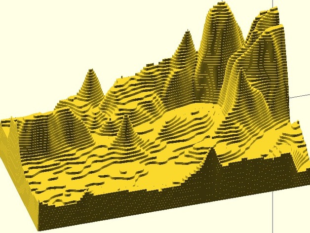
Using the Google Elevation API, the scientific Python stack and OpenSCAD, I generated this model from latitude, longitude and elevation data. A post on my blog describes how the different tools were used to obtain the final result. This method is applicable to any surface on earth defined by two corner points. Instructions Simply print the STL model using a 3D printer.
Download Model from thingiverse
With this file you will be able to print Paris contour / relief map with your 3D printer. Click on the button and save the file on your computer to work, edit or customize your design. You can also find more 3D designs for printers on Paris contour / relief map.