Pike's Peak Topographic Map
thingiverse
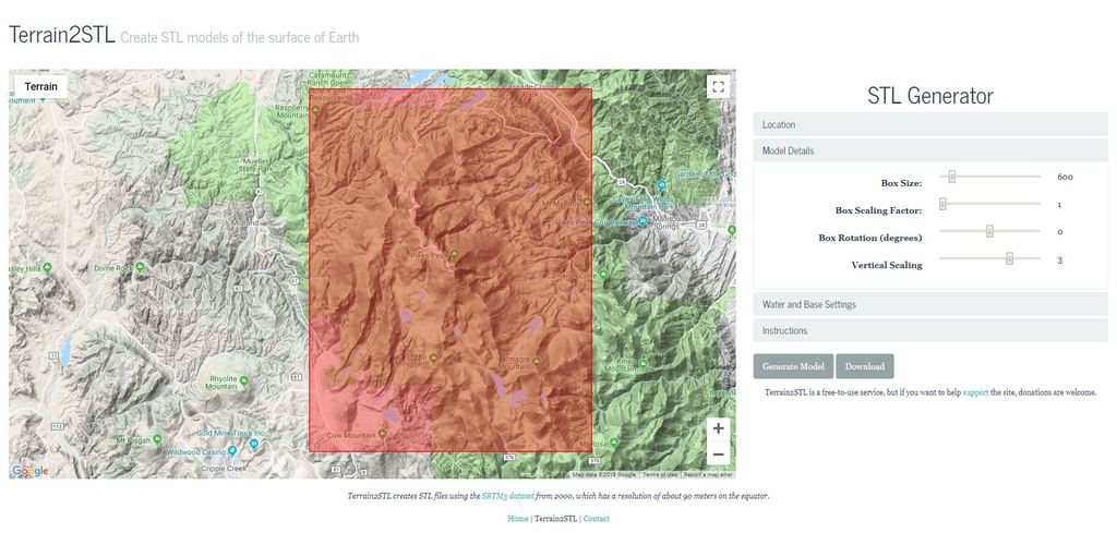
The main model itself I got from here (http://jthatch.com/Terrain2STL/). I did a little bit of processing of the model in Fusion 360 to bring down the polygon count and make the model shorter without making the map shorter. There are two models uploaded one is very large and would need to be scaled down, the other one labeled scaled fits on my print bed and could likely be scaled up to fit a larger printer.
Download Model from thingiverse
With this file you will be able to print Pike's Peak Topographic Map with your 3D printer. Click on the button and save the file on your computer to work, edit or customize your design. You can also find more 3D designs for printers on Pike's Peak Topographic Map.