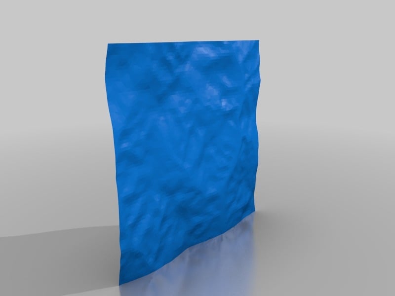
Print a 3D Map - Draw on top of it
thingiverse
I've created a 3D map from openstreetmaps data, adding roads, rivers, and elevation lines with precision using a pen holder instead of my 3D printer head, which serves as a 3D plotter. For the most current step-by-step operation details, visit https://sites.google.com/view/3dplotting.
Download Model from thingiverse
With this file you will be able to print Print a 3D Map - Draw on top of it with your 3D printer. Click on the button and save the file on your computer to work, edit or customize your design. You can also find more 3D designs for printers on Print a 3D Map - Draw on top of it.
