Relevé Topographique COLAS
sketchfab
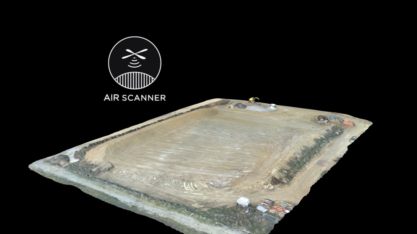
Relevé topographique géoréférencé sur Stations. 1 hectare de relevé Précision du nuage de points obtenus aprés géoréférencement : Précision globale :1,1207 cm X : 0,3198 cm Y : 0,3879 cm Z : 1,0016 cm
Download Model from sketchfab
With this file you will be able to print Relevé Topographique COLAS with your 3D printer. Click on the button and save the file on your computer to work, edit or customize your design. You can also find more 3D designs for printers on Relevé Topographique COLAS.