Relief Map of Solothurn & Weissenstein
thingiverse
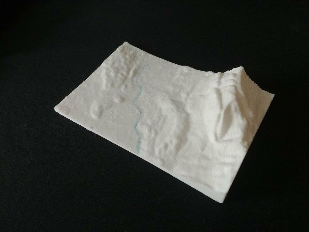
This model is a relief map of the town of Solothurn and the surrounding municipalities. The mountain in the picture is the Weissenstein and Balmberg. The Hasenmatt is not on the picture. To the west it expands to Lüssligen Nennigkofen To the southeast to Biberist and Derendingen Generated model with http://jthatch.com/Terrain2STL/ The model has an overheight of a factor 2.
Download Model from thingiverse
With this file you will be able to print Relief Map of Solothurn & Weissenstein with your 3D printer. Click on the button and save the file on your computer to work, edit or customize your design. You can also find more 3D designs for printers on Relief Map of Solothurn & Weissenstein.