Rhode Island Topographical Map
thingiverse
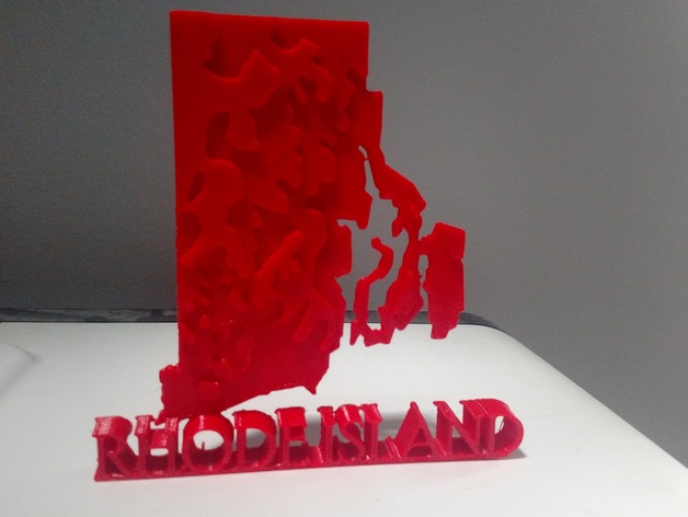
This is an accurate geological map of Rhode Island, illustrating the diverse elevations across the state. Print one for yourself and proudly display your New England spirit, or simply print it as a keepsake from America's smallest state! Discover more in the Unofficial Challenge group! - https://www.thingiverse.com/groups/unofficial-challenges
Download Model from thingiverse
With this file you will be able to print Rhode Island Topographical Map with your 3D printer. Click on the button and save the file on your computer to work, edit or customize your design. You can also find more 3D designs for printers on Rhode Island Topographical Map.