Route Map Model with Elevation Profile
thingiverse
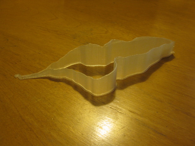
Test print of proof-of-concept output code that converts GPX tracks from a GPS unit or mapping service to printable course models of your running, hiking, cycling, etc. routes. Time lapse: https://www.youtube.com/watch?v=so5W8DpgZX8 Source route: http://www.mapmyrun.com/routes/view/459151112 Instructions: Printed clearly in PLA on my Printrbot Simple with path wall thin, it only requires 2 perimeters thick regardless of settings.
Download Model from thingiverse
With this file you will be able to print Route Map Model with Elevation Profile with your 3D printer. Click on the button and save the file on your computer to work, edit or customize your design. You can also find more 3D designs for printers on Route Map Model with Elevation Profile.