San Francisco Bay 3d topo map
thingiverse
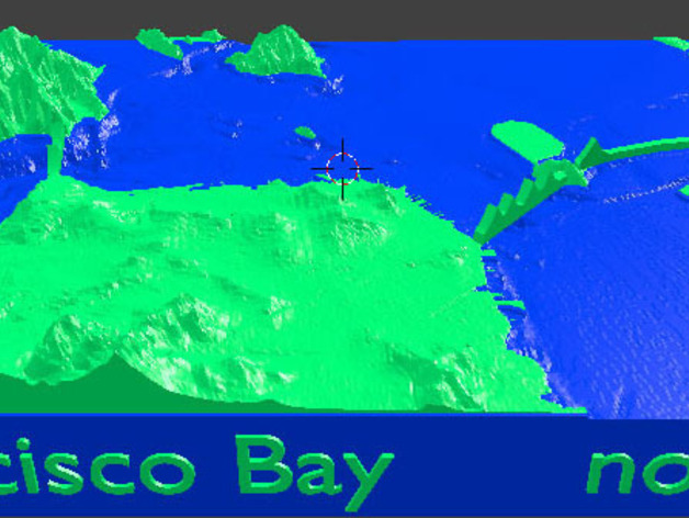
This is a model of San Francisco Bay showing the terrain above water and the contours underwater. It is based on the best available (at least to civilians) DEM and topobathy (dig that word) data. The elevations both above and below water are exaggerated 4x to make it an interesting print. I also did a simple model of the bridges which will print at that scale. If you insist it be anatomically correct check out http://www.thingiverse.com/thing:237164 This is a dual extruder model split at sea level. If anyone wants a single extruder version ask and I will post.
With this file you will be able to print San Francisco Bay 3d topo map with your 3D printer. Click on the button and save the file on your computer to work, edit or customize your design. You can also find more 3D designs for printers on San Francisco Bay 3d topo map.