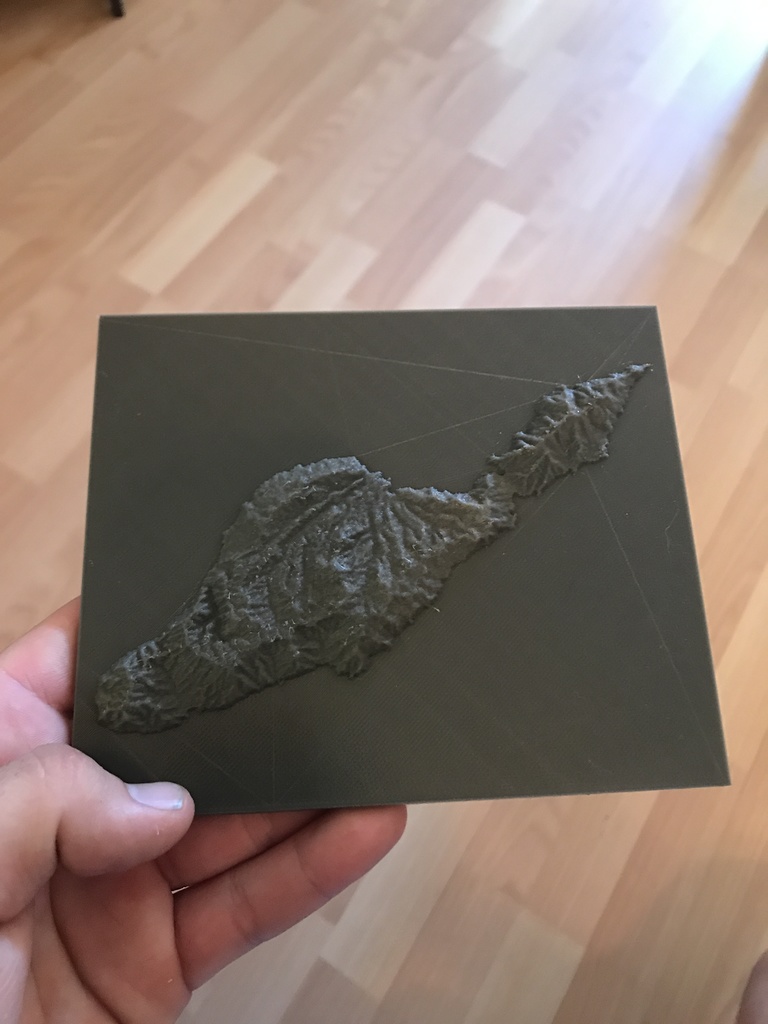
Santa Catalina Island Topography Map
thingiverse
Topography map of Santa Catalina Island at 2x elevation so you can see all the features.
Download Model from thingiverse
With this file you will be able to print Santa Catalina Island Topography Map with your 3D printer. Click on the button and save the file on your computer to work, edit or customize your design. You can also find more 3D designs for printers on Santa Catalina Island Topography Map.