Santorini Greece Relief Map: 1:92,000 Scale
sketchfab
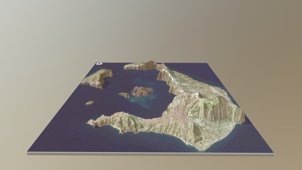
Order an 8” 3D Print Santorini, classically Thera (English pronunciation /ˈθɪərə/), and officially Thira (Greek: Θήρα [ˈθira]), is an island in the southern Aegean Sea, about 200 km (120 mi) southeast of Greece’s mainland. It is the largest island of a small, circular archipelago which bears the same name and is the remnant of a volcanic caldera. It forms the southernmost member of the Cyclades group of islands, with an area of approximately 73 km2 (28 sq mi) and a 2011 census population of 15,550. The municipality of Santorini includes the inhabited islands of Santorini and Therasia and the uninhabited islands of Nea Kameni, Palaia Kameni, Aspronisi, and Christiana. The total land area is 90.623 km2 (34.990 sq mi). Santorini is part of the Thira regional unit. Source: Wikipedia
With this file you will be able to print Santorini Greece Relief Map: 1:92,000 Scale with your 3D printer. Click on the button and save the file on your computer to work, edit or customize your design. You can also find more 3D designs for printers on Santorini Greece Relief Map: 1:92,000 Scale.