Seoul Map Puzzle (English Labels)
thingiverse
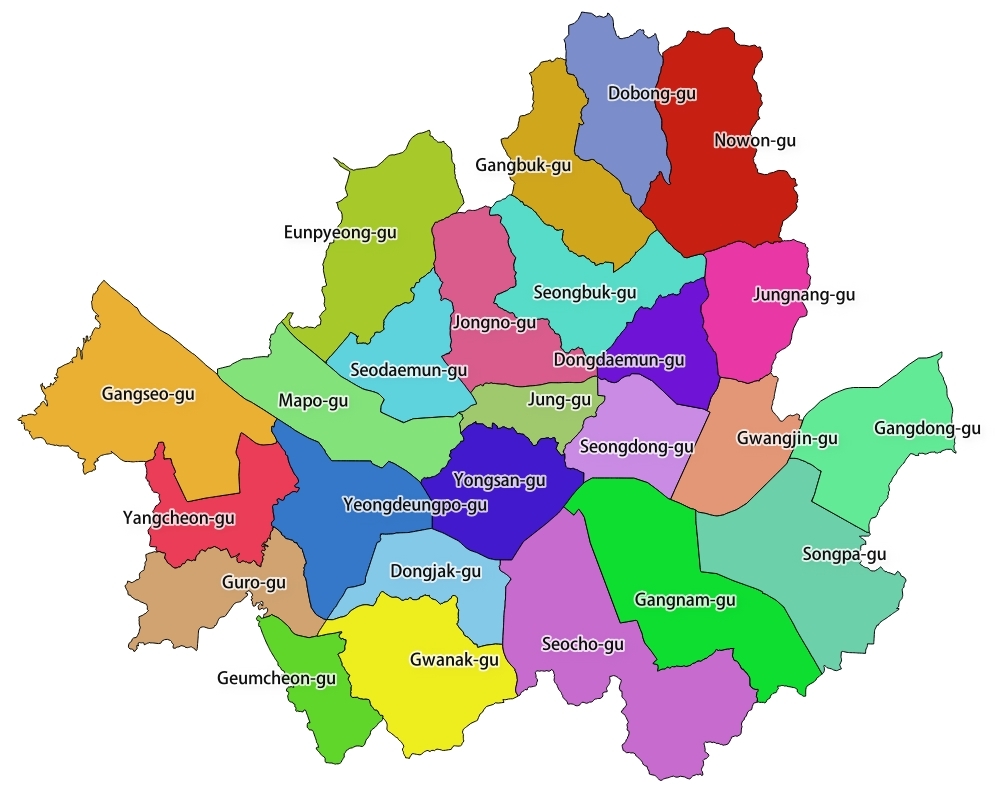
- Data Source: the Korea National Spatial Data Infrastructure Portal (NSDI) (http://www.nsdi.go.kr) - File name: New Road System-> TL_SCCO_SIG.shp (25 Gu: local government districts) - Program: QGIS - Projection: EPSG 5178-Korean 1985
Download Model from thingiverse
With this file you will be able to print Seoul Map Puzzle (English Labels) with your 3D printer. Click on the button and save the file on your computer to work, edit or customize your design. You can also find more 3D designs for printers on Seoul Map Puzzle (English Labels).