St Giles Hill 3D topographic model
sketchfab
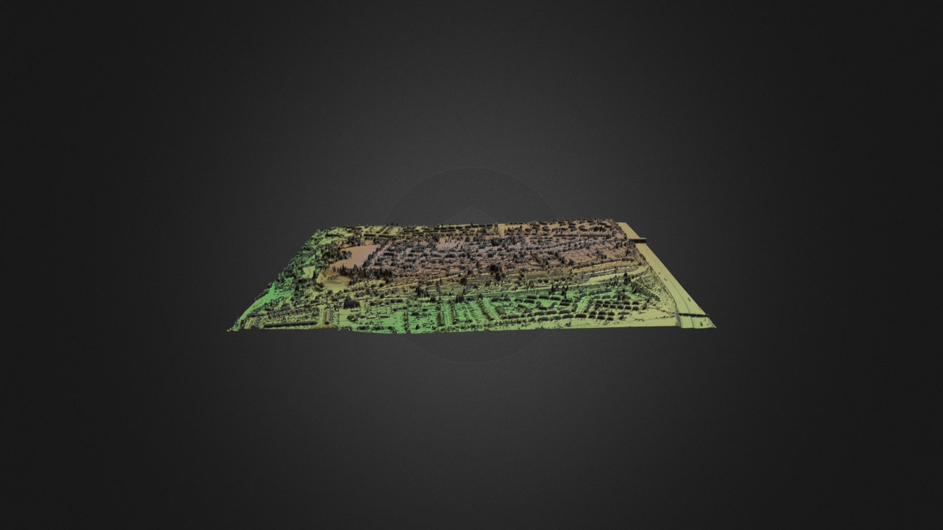
Topographic model based on Lidar data downloded from Defra website. Projection;- OSGB36 / British National Grid
Download Model from sketchfab
With this file you will be able to print St Giles Hill 3D topographic model with your 3D printer. Click on the button and save the file on your computer to work, edit or customize your design. You can also find more 3D designs for printers on St Giles Hill 3D topographic model.