Syria (Syrian civil war map)
thingiverse
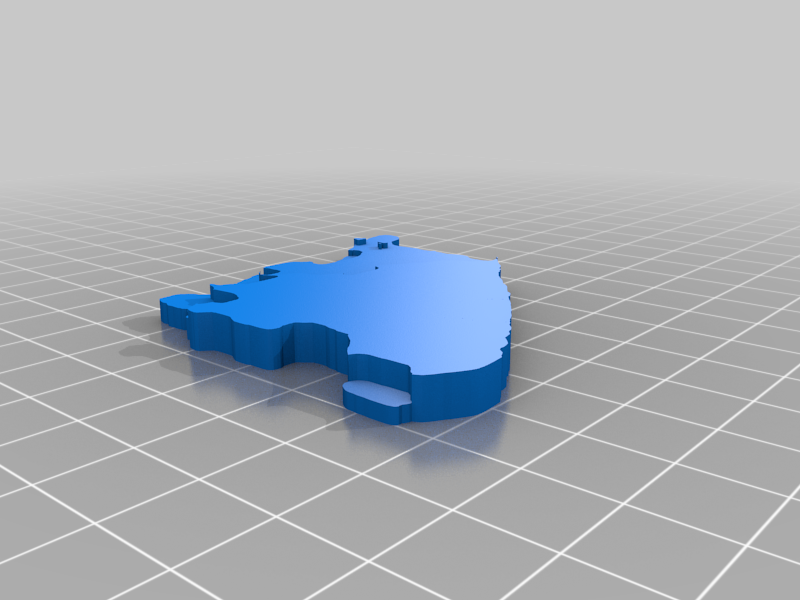
This is a map of Syria. It is also showing the territories under kurdish controll and Israeli occupation and the areas occupied by Turkey and the Al-Qaida terrorists which are heavily supported by Turkey. This was designed in Tinkercad. All the areas 5 mm tall are under Goverment controll, all 4 mm tall are under kurdish controll, all areas 3mm tall are under Al-Qaida and Turkey and the area that is 2 mm tall is Golan heights which Israel currently occupies. Right now there are small fightings in the Idlib region which is the region under Al-Qaida's controll. There are also big fightings in the southern end in Syria. The city of Daraa and the regions around it where the first place where rebels took controll but the Syrian goverment took it and allowed the extremists and fighters to travel up to Idlib but the people left also fought in Daraa.
With this file you will be able to print Syria (Syrian civil war map) with your 3D printer. Click on the button and save the file on your computer to work, edit or customize your design. You can also find more 3D designs for printers on Syria (Syrian civil war map).