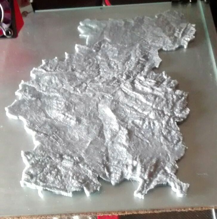
Teruel Topographic Map
thingiverse
The topographic map of Teruel in Spain, was made using kosmo software (http://www.opengis.es/) and DEMto3D extension (http://demto3d.com/)
Download Model from thingiverse
With this file you will be able to print Teruel Topographic Map with your 3D printer. Click on the button and save the file on your computer to work, edit or customize your design. You can also find more 3D designs for printers on Teruel Topographic Map.