The bathymetry around Svalbard (IBCAO 4.0)
sketchfab
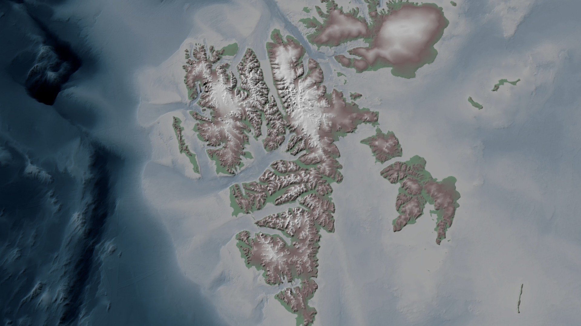
A stunning visualization of Svalbard and its surrounding areas comes alive with the freshly released IBCAO 4.0 dataset, courtesy of Jakobsson et al., (2020). To bring out the details, elevation and depth values are magnified by a factor of ten. Behind-the-scenes, QGIS and Meshlab expertly process the data, resulting in a model spanning approximately 800x900 kilometers.
Download Model from sketchfab
With this file you will be able to print The bathymetry around Svalbard (IBCAO 4.0) with your 3D printer. Click on the button and save the file on your computer to work, edit or customize your design. You can also find more 3D designs for printers on The bathymetry around Svalbard (IBCAO 4.0).