Topo Tutorial: Pentagon Area (Terrain2STL)
prusaprinters
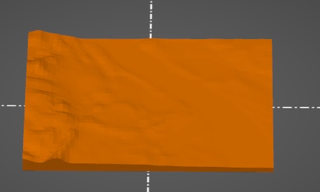
<p>This is a sample print using the Terrain2STL site here: <a href="http://jthatch.com/Terrain2STL/">http://jthatch.com/Terrain2STL/</a></p><p>Site parameters were NW corner at (38.8898 N, -77.0752 E), box width 0.05 degrees, box height 0.03 degrees, vertical scaling 4. Other parameters as default.</p><p>The dataset appears to be 90m from approximately 2000 AD using the <a href="https://cgiarcsi.community/data/srtm-90m-digital-elevation-database-v4-1/"><i>SRTM3 dataset</i></a><i>.</i></p><p>Compare with the other terrain model: <a href="https://www.printables.com/model/292511-topographic-tutorial-pentagon-area">https://www.printables.com/model/292511-topographic-tutorial-pentagon-area</a></p><p>Attribution: Terrain2STL web link credits the creator</p><p>Data set attribution: <a href="https://cgiarcsi.community/data/srtm-90m-digital-elevation-database-v4-1/">https://cgiarcsi.community/data/srtm-90m-digital-elevation-database-v4-1/</a> for the location of the dataset hosting, original data from NASA.</p>
With this file you will be able to print Topo Tutorial: Pentagon Area (Terrain2STL) with your 3D printer. Click on the button and save the file on your computer to work, edit or customize your design. You can also find more 3D designs for printers on Topo Tutorial: Pentagon Area (Terrain2STL).