Topographic 3D Map - Danube Bend (Dunakanyar)
thingiverse
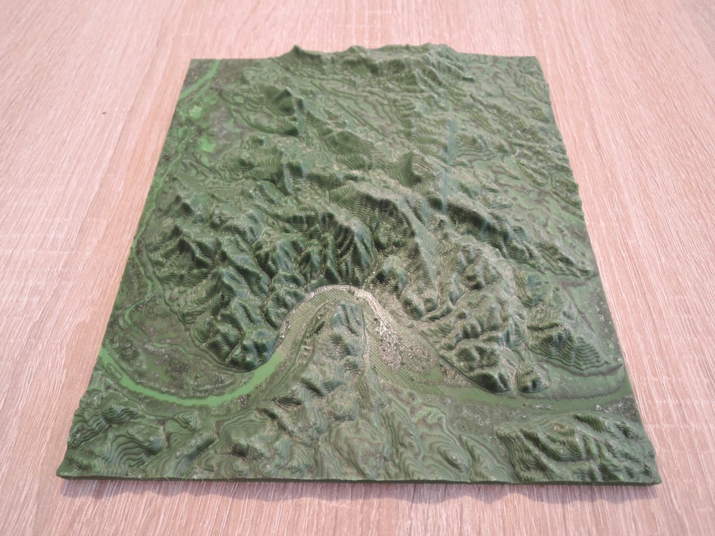
This is a 3D relief map of the Danube Bend and the Pilis Mountains and the Visegrád Mountains. It was created using data from website: http://jthatch.com/Terrain2STL/. I wanted to enhance visibility of the mountains, so I printed it with visible contour lines. The printing parameters were 0.05 layer height, with every 10th layer featuring two contours in different colors - black in this case.
Download Model from thingiverse
With this file you will be able to print Topographic 3D Map - Danube Bend (Dunakanyar) with your 3D printer. Click on the button and save the file on your computer to work, edit or customize your design. You can also find more 3D designs for printers on Topographic 3D Map - Danube Bend (Dunakanyar).