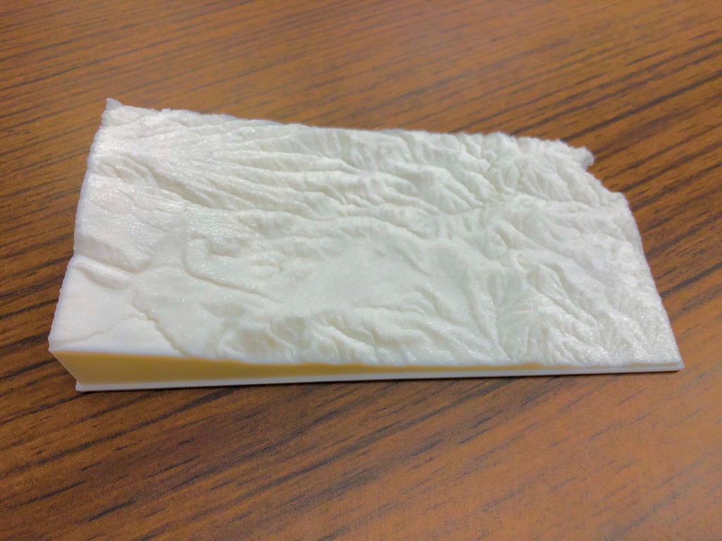
Topographic map of Kansas with 10X vertical exaggeration
thingiverse
A stunning topographic map of Kansas is revealed, showcasing the state's diverse landscape with a dramatic 10 times vertical exaggeration. Created using the innovative Touch Terrain tool, this interactive map offers an immersive experience, allowing users to explore the region's unique features in unprecedented detail.
Download Model from thingiverse
With this file you will be able to print Topographic map of Kansas with 10X vertical exaggeration with your 3D printer. Click on the button and save the file on your computer to work, edit or customize your design. You can also find more 3D designs for printers on Topographic map of Kansas with 10X vertical exaggeration .