Topographic World Map
thingiverse
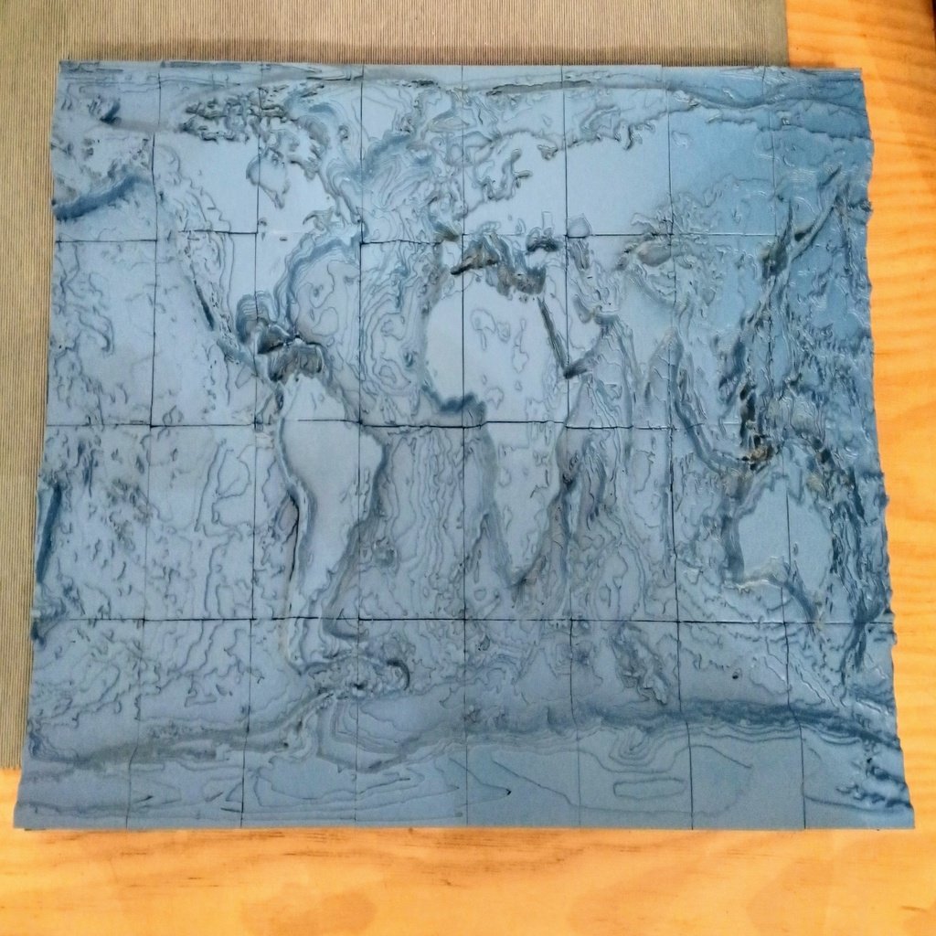
Elevation levels match actual heights nearly precisely, but coast lines are amplified for emphasis. Elsewhere, every millimeter in height corresponds exactly to one kilometer of distance. At the equator, the planar scale approximates a ratio of 1:25,000,000. Initially, I intended to print this map at the displayed scale, yet this would demand more than 160 hours of continuous printing time. Consequently, I began working on a version that was reduced in both X and Y dimensions by 40%. The entire map is divided into thirty-two distinct sections, each labeled as shown in the accompanying image.
With this file you will be able to print Topographic World Map with your 3D printer. Click on the button and save the file on your computer to work, edit or customize your design. You can also find more 3D designs for printers on Topographic World Map.