Topographical model of Southampton, UK
thingiverse
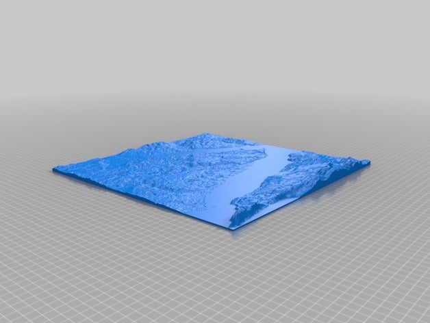
A 3D model of the terrain around the Solent and Southampton. The Solent is the main body of water running from bottom left to mid right with the NW tip of the Isle of Wight running along the bottom. The needles are on the bottom left corner and Southampton is towards the top centre. Cowes is at the most northern part of the Isle of Wight. It was created using Terrain2STL; A web-based service that converts publicly available HGT files to useful STL files
Download Model from thingiverse
With this file you will be able to print Topographical model of Southampton, UK with your 3D printer. Click on the button and save the file on your computer to work, edit or customize your design. You can also find more 3D designs for printers on Topographical model of Southampton, UK.