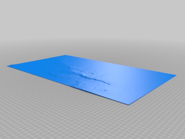
Topography of the Sierras de Córdoba (Central Argentina)
thingiverse
Constructed using 1minute resolution ETOPO1 data from NOAA. It resulted from the use of the "surface" command in openSCAD.
Download Model from thingiverse
With this file you will be able to print Topography of the Sierras de Córdoba (Central Argentina) with your 3D printer. Click on the button and save the file on your computer to work, edit or customize your design. You can also find more 3D designs for printers on Topography of the Sierras de Córdoba (Central Argentina).