Tulul adh-Dhahab, Zarqa Valley - Esri imagery
sketchfab
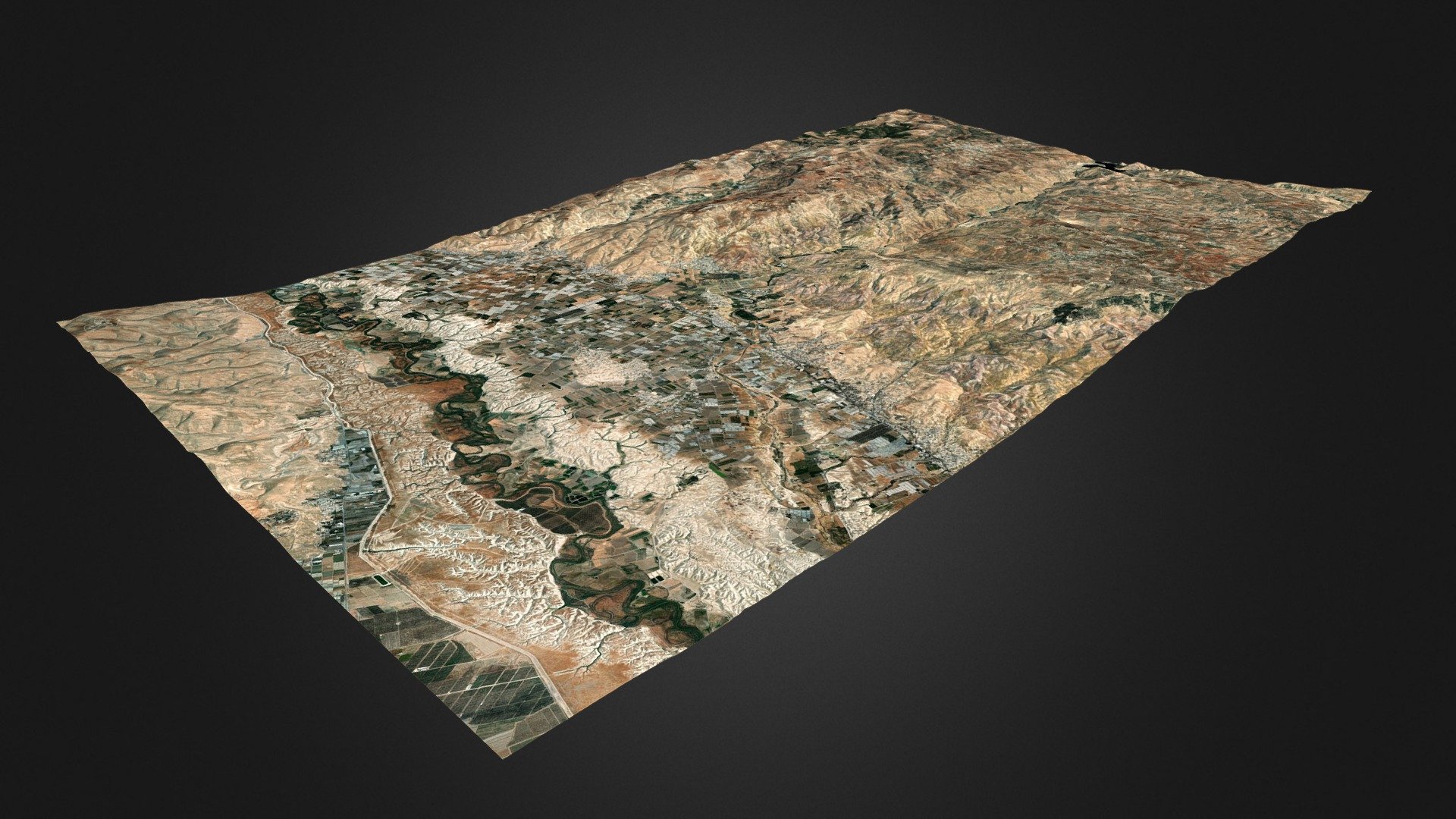
Landscape around the lower Zarqa river valley, from the foothills of the West Bank to the Jordan Highlands, including the Jordan Valley, the Ghor al-Urdun. In the center of the map the Tulul adh-Dhahab (https://en.wikipedia.org/wiki/Tulul_adh-Dhahab). Generator: DEM Net Elevation API Digital Elevation Model: SRTM_GL1 OpenTopography Imagery: Esri World Imagery
Download Model from sketchfab
With this file you will be able to print Tulul adh-Dhahab, Zarqa Valley - Esri imagery with your 3D printer. Click on the button and save the file on your computer to work, edit or customize your design. You can also find more 3D designs for printers on Tulul adh-Dhahab, Zarqa Valley - Esri imagery.