Tunisia topographic map
thingiverse
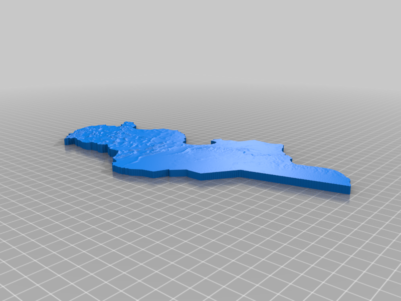
It's a topographic map created with Google Earth and Touchterrain. The heights are exaggerated to make them stand out more. You can print with 0.2mm layer lines without bottom layers to save on time.
Download Model from thingiverse
With this file you will be able to print Tunisia topographic map with your 3D printer. Click on the button and save the file on your computer to work, edit or customize your design. You can also find more 3D designs for printers on Tunisia topographic map.