United States Electoral Vote Map
thingiverse
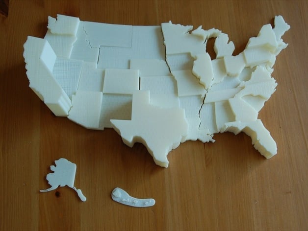
This is a 3D scale replica of the United States, the state height corresponds to the number of electoral votes each state controls in a presidential election. I thought it could be a fun visual tool for learning about U.S. politics. Also included in this thing is a flat 2D Sketchup map of the U.S. suitable for resizing, extruding, scaling, puzzle making, you name it! More about this project in my blog post here: http://www.thenewhobbyist.com/2011/09/3d-printing-for-the-classroom/ Instructions Print all 11 print beds Assemble Display and educate!
With this file you will be able to print United States Electoral Vote Map with your 3D printer. Click on the button and save the file on your computer to work, edit or customize your design. You can also find more 3D designs for printers on United States Electoral Vote Map.