Vancouver Canada - 3D Map
thingiverse
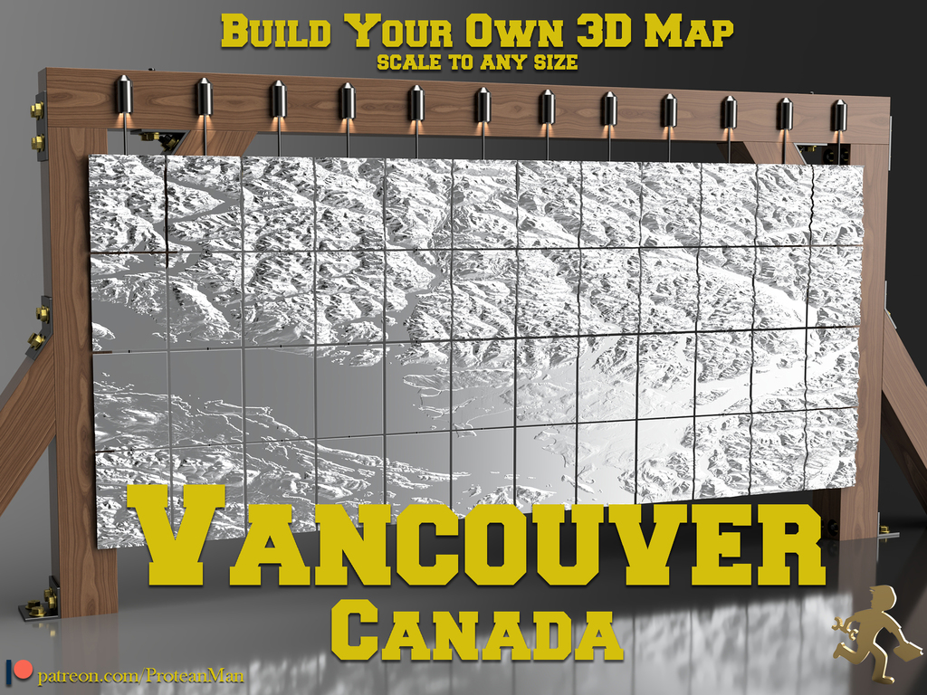
Choose all or any section to create your very own Vancouver 3D Map. Paint it, hang it, make it look amazing! I created a smaller version a few years ago and was told that the files had gap errors when slicing. I couldn't fix the error without losing map quality so I created a new version from updated satellite terrain data, and this time it's even bigger. If you want smaller sections from each piece my suggestion is to use NetFabb from Autodesk (you can create a trial or even free student account) and cut the sections into smaller parts. There is an easy way using the cut function in NetFabb, and there are tutorials online. I can help if you send me a message as well. <h2>Sizing</h2> This is going to be up to you and how you want to see the world. **The maps look shrunk North/South but actually are perfectly normal**. It is Google Maps and almost all other maps that skew for many reasons - see below. If you want your map to look like Google Maps you will need to scale **ONLY** in the North/South directions by around 240% (this may be X or Y depending on how your slicer reads STL data), yes Google Maps is that far skewed. Use the images above to figure out which direction is North/South to scale. **These maps are direct satellite topography data** and are exact sizing to the 'true' Earth. I increased vertical height by 100% to make the height differential worth it when printing because the mountains aren't actually that big when you print them so tiny. If you want a perfect sizing you will need to scale the Z (height) axis only - to 50%. A very helpful friend on this site pointed out some skewing in the maps from North to South (@247generator). He created an image which I added to this main page which shows Vancouver with the default map and then the same image stretched 240% to make it fit the standard Google Maps image. There is over 500 years of history in map making to explain why my maps seem shrunk in the North South direction and it has to do with a gentleman named Mercator who came up with the worlds most common mapping system. The 500 year breakdown goes like this: To stretch the outer layer of a sphere (Earth) onto a flat surface you must stretch the outer layer in North/South and even West/East directions, starting at the equator. Stretching by a certain percentage per Lat/Long degree will give you a map that looks square and flat and is actually perfect at the equator but slightly stretched more and more the further North/South you go. We Canadians are quite stretched (insert joke) since we are very far from the equator. Google maps continues with this tradition to give us the most "comfortable" looking map and thus not what the earth actually looks like. If you want to see what the world should look like... you can't, unless you go into orbit to see it for yourself. There are attempts at creating a properly sized *flat* map but these are not as helpful as you'd think. Here is a link to a GIF that shows the true sizes as they are skewed - the equator remains the same: https://en.wikipedia.org/wiki/Mercator_projection#/media/File:Worlds_animate.gif If you can find a physical globe that is quite large you may get the idea of how short (North/South) Vancouver and Canada is. As a reference, Greenland looks massive and even as big as Africa on most maps but is actually 1/3 it's map size. <h2>Printing</h2> **You will need to scale the sections to your print bed size.** - Make sure that you write down your scale setting for all sections. - Best results with 0.1mm layer height if possible. - Use PLA or PETG considering that ABS will warp on such a large flat print. - For best visuals you may want to scale the Z axis @ 2x or more. This will make the mountains and water ways more pronounced. <h2>Sharing</h2> Please share photos of your map. I would love to see the paint work that you do or if you keep it as a solid colour. tag me if you post on Instagram: @the_protean_man
With this file you will be able to print Vancouver Canada - 3D Map with your 3D printer. Click on the button and save the file on your computer to work, edit or customize your design. You can also find more 3D designs for printers on Vancouver Canada - 3D Map.