Victorian Boundary Marker - revisited model
sketchfab
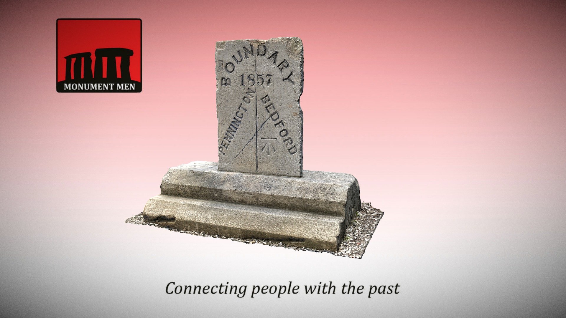
Boundary marker established around 1857 to clearly delineate the territories of Bedford and Pennington townships within Leigh parish, Lancashire. Locate this boundary on Google Maps via https://goo.gl/maps/7LtUroNsRz42. A 3D scan was generated using photogrammetry software, specifically 3DF Zephyr version 3.502, from a total of 248 high-resolution images captured by Lee Robert McStein.
Download Model from sketchfab
With this file you will be able to print Victorian Boundary Marker - revisited model with your 3D printer. Click on the button and save the file on your computer to work, edit or customize your design. You can also find more 3D designs for printers on Victorian Boundary Marker - revisited model.