Waiheke Island, New Zealand
thingiverse
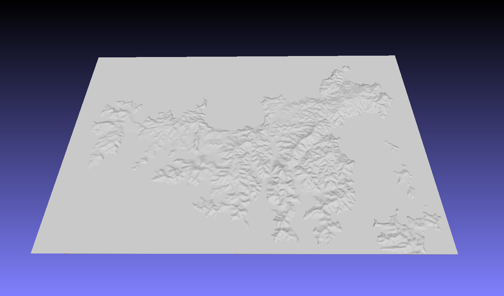
A topographic map of Waiheke Island, New Zealand, constructed from data from Land Information New Zealand with a 0.5mm base. Note with so thin a base you may want to consider scaling up the z direction or resizing the overall dimensions of the object. The reason for the thin base is that the limited height range over the map means that a thicker base would be the majority of the print volume. By using a thinner base with the height to scale with the lateral (x, y) dimensions you can choose how best to print the object.
With this file you will be able to print Waiheke Island, New Zealand with your 3D printer. Click on the button and save the file on your computer to work, edit or customize your design. You can also find more 3D designs for printers on Waiheke Island, New Zealand.