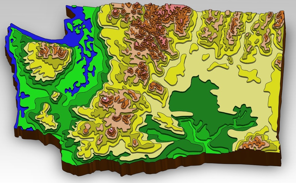
Washington State Topographical Map
grabcad
This is a to-scale model (roughly 95% accurate) of Washington State with stepped topography.
Download Model from grabcad
With this file you will be able to print Washington State Topographical Map with your 3D printer. Click on the button and save the file on your computer to work, edit or customize your design. You can also find more 3D designs for printers on Washington State Topographical Map.