Wellington Region Heightmap
thingiverse
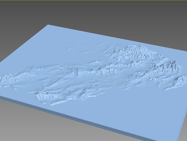
Map of the Wellington NZ Region, height scale is exaggerated in the interests of looking good as a print. Made from Koordinates DEM data. Have not tested as a print, making for a r/wellington user to try.
Download Model from thingiverse
With this file you will be able to print Wellington Region Heightmap with your 3D printer. Click on the button and save the file on your computer to work, edit or customize your design. You can also find more 3D designs for printers on Wellington Region Heightmap.