West Horton 1c (May 2006)
sketchfab
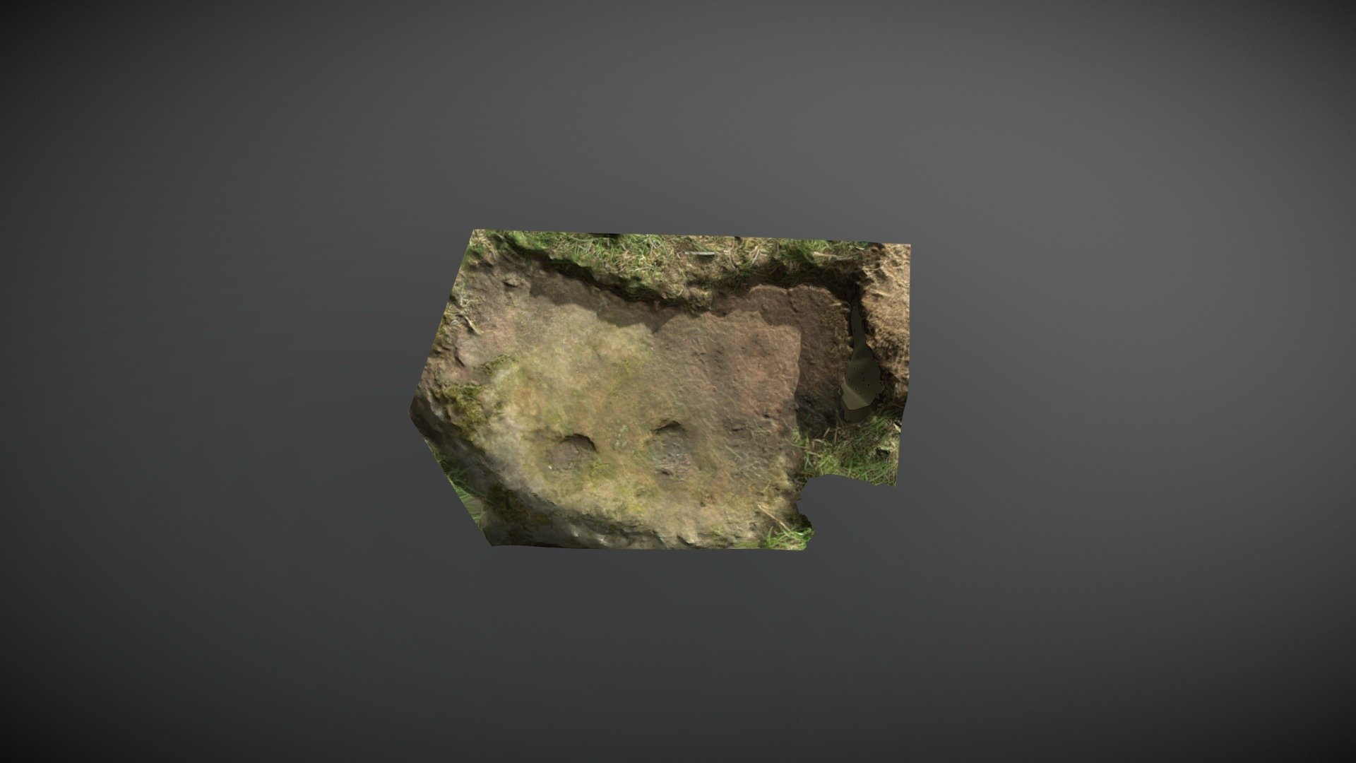
Small area of outcrop within on private farmland near West Horton in Northumberland. This area of exposure is one of a number clustered together and is recorded on the Beckensall Archive (BA) as ‘West Horton 1c’, where it’s described as: ‘Five cups, one of which has an arc, and there is another detached arc.’ NADRAP added the record to ERA in 2008. ERA & BA info: https://archaeologydataservice.ac.uk/era/section/panel/overview.jsf?eraId=66 Historic England scheduling: https://historicengland.org.uk/listing/the-list/list-entry/1006532 This noisy model is created from 4 random images captured by NADRAP Team 1 in May 2006. The imagery forms part of the full NADRAP archive deposited with Historic England and Northumberland County Council.
With this file you will be able to print West Horton 1c (May 2006) with your 3D printer. Click on the button and save the file on your computer to work, edit or customize your design. You can also find more 3D designs for printers on West Horton 1c (May 2006).